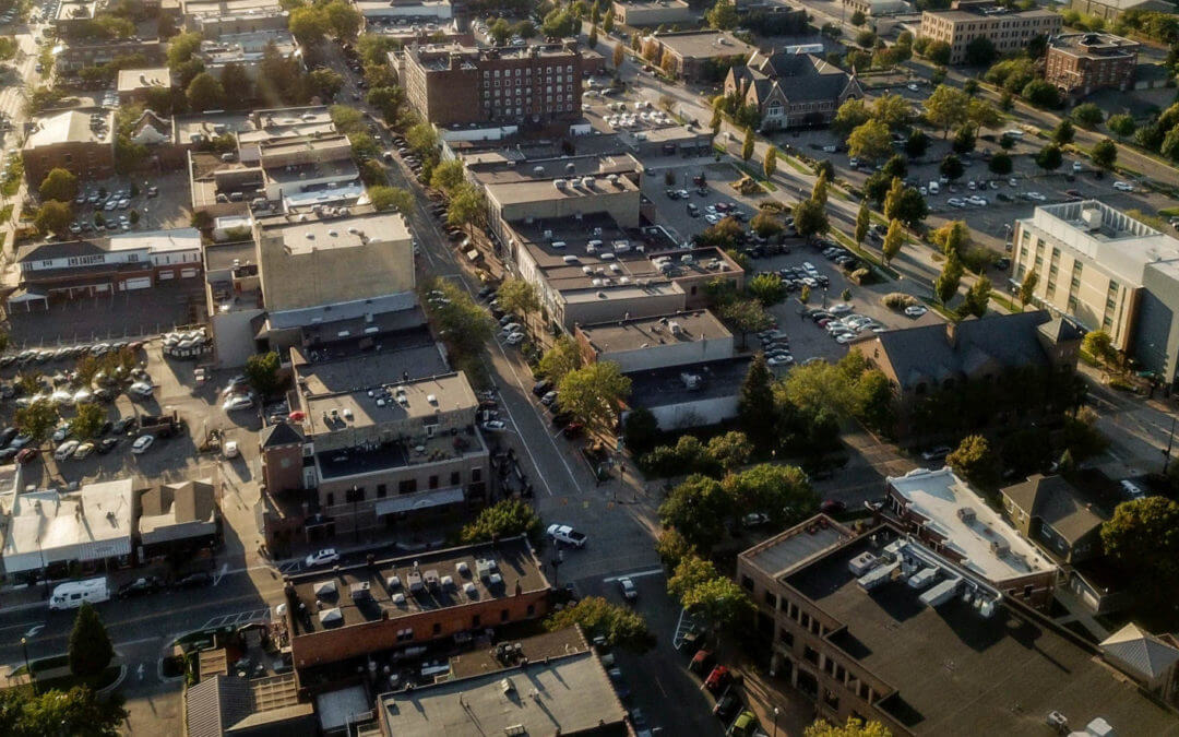
The term “districts” is commonly used in urban planning. What it means, however, can vary depending on the type and scale of the land use plan.
At the largest scale and the most general level, there are area-wide policy plans which provide guidance to future land use and development decisions, such as those prepared by the Ottawa County Planning & Performance Improvement Department. A key feature of such plans is the mapping of three general policy districts: conservation districts which are environmentally sensitive lands that should not be developed; rural districts with areas suitable for some low-density development and resource production uses; and urban districts which are areas where urban growth would be directed.
For the Waterfront Holland visioning process, “districts” refer to small and/or specific areas that have distinct character and are also strategically important within the community. In the City of Holland, some examples of “districts” include the Historic District and the Principal Shopping District. While each “district” is unique in its ambiance and personality, the districts have and should share common characteristics that reflect the greater whole – the community which they belong.
**Note: The way we are describing “districts” here should not be confused with “zoning districts”, such as residential, commercial, and industrial. “Zoning districts” regulate permitted uses, amount of parking, size of building in relation to the lot, and other features based on zoning ordinances.

